tsunami numerical modelling
 Mathematical descriptions that seek to describe the observed tsunami and its effects. Often the only way to determine the potential runups and inundation from a local or distant tsunami is to use numerical modelling since data from past tsunamis is usually insufficient. Models can be initialized with potential worst case scenarios for the tsunami sources or for the waves just offshore to determine corresponding worst case scenarios for runup and inundation. Models can also be initialized with smaller sources to understand the severity of the hazard for the less extreme but more frequent events. This information is then the basis for creating tsunami evacuation maps and procedures. At present, such modelling has only been carried out for a small fraction of the coastal areas at risk. Sufficiently accurate modelling techniques have only been available in recent years, and these models require training to understand and use correctly, as well as input of detailed bathymetric and topographic data in the area being modelled.
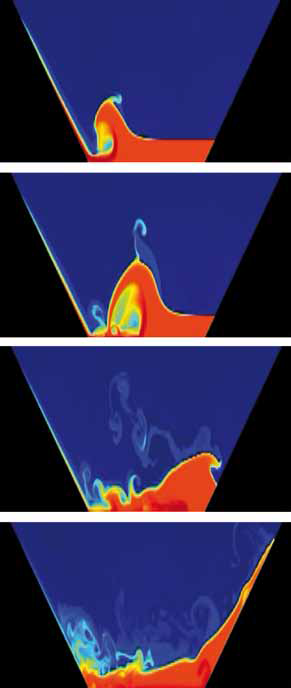
Numerical models have been used in recent years to simulate tsunami propagation and interaction with land masses. Such models usually solve similar equations but often employ different numerical techniques and are applied to different segments of the total problem of tsunami propagation from generation regions to distant areas of runup. For example, several numerical models have been used to simulate the interaction of tsunamis with islands. These models have used finite difference, finite element, and boundary integral methods to solve the linear long wave equations. These models solve these relatively simple equations and provide reasonable simulations of tsunamis for engineering purposes. Tsunami warning centres use numerical models to forecast expected wave arrival times, directions of maximum tsunami energy, strength of near-shore water currents, and coastal wave height. This important information helps emergency response officials to plan and focus relief on where the impact is expected to be the greatest.