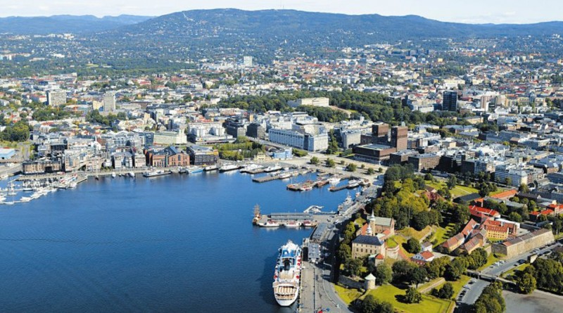
Dissemination Meeting in Oslo, Norway
Location: Terzaghi library NGI – Oslo
https://www.ngi.no/eng/About-NGI/Contact/NGI- Oslo-How- to-find- us/Transport-accomodation
https://www.google.no/maps/place/Sognsveien+72,+0855+Oslo
Date: 1-2 September 2016
Main Objective:
Decide on what type of product to deliver and disseminate to DG-ECHO. Work out a dissemination strategy.
Secondary Objectives:
- Illuminate the different possible hazard metrics
- Describe the methods needed for quantifying the different metrics, including feasibility within the project scope
- Discuss how to disseminating the use of different metrics, including their uncertainties
- Make a plan for implementation
Preliminary program day 1 (timing and topics should be flexible)
| Time | Thursday September 1 |
| 9.00 – 9.30 | Welcome |
| Block I:
9.30 – 10.45 |
Overview of all possible hazard metrics
· Short presentation of the different possible hazard metrics (offshore water height, shoreline water height, run-up inundation heights, inundation maps etc., treatment of tides, other risk measures such as flow velocities, flow heights and momentum fluxes). Draw from some similar experience in GAR. · Discuss the relevance of the different hazard metrics. · How could we see the hazard metrics used, and how can they be misused? · Make a list of which kind of metrics we would optimally like to communicate to the Commission and other users |
| 10.45-11.00 | Coffee break |
| Block II:
11.00-12.30 |
Computational aspects:
· For each hazard metric discuss the needed computational strategy · Discuss feasibility aspects – efforts needed in terms of computational cost and human resources (implementation etc) · Quantification of uncertainty · Discuss specific challenges related to computing the different metrics · Revise the product list |
| 12.30-13.30 | Lunch break |
| Block III:
13.30-15.30 |
Communication of the results to the users:
· Possible misuse of data. · What should be available to who? · Explaining what the data means · Explaining how the data are meant to be used and how not to be used. · Hazard and risk communication explanatory text at web pages or any other dissemination. · Ways of amending misuse, online tools etc. · Disaggregation, exemplifying through scenarios? · Feasibility, what can be achieved within the resources of the project |
| 15.30-16.00 | Coffee break |
| Block IV:
16.00-17.30 |
Direct dissemination of results, result exchange platforms etc.
· Discuss possible ways of presenting the results · Web platforms · Mapping tools · Data downloads · Feasibility, what can be achieved within the resources of the project |
| 19.00 | Social Dinner |
Preliminary program day 2 (timing and topics should be flexible)
| Time | |
| Block V:
9.30 – 12.30
(Coffee break 10.45-11.00) |
Plan for implementation
· Wrap up from day 1 · Distribute tasks, set up a detailed plan · Timeline · Role of the project participants implementing the results, i) technically ii) on the dissemination platforms · Role of expert panel · Role of the external reviewers · Role of the sanity checkers |
| 12.30-13.30 | Lunch break |
| Block VI:
13.30-15.30 (or longer if feasible) |
AOB – e.g.
· Techniques for run-up and maximum shoreline estimation · Making crude inundation maps using GIS tools? · Source treatment · Gaussian weighting schemes · Hazard calculations · … |

